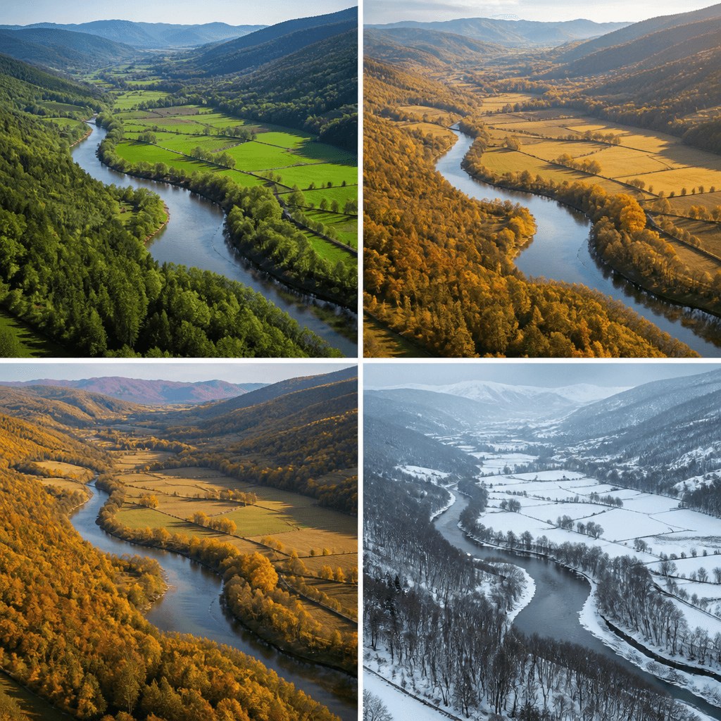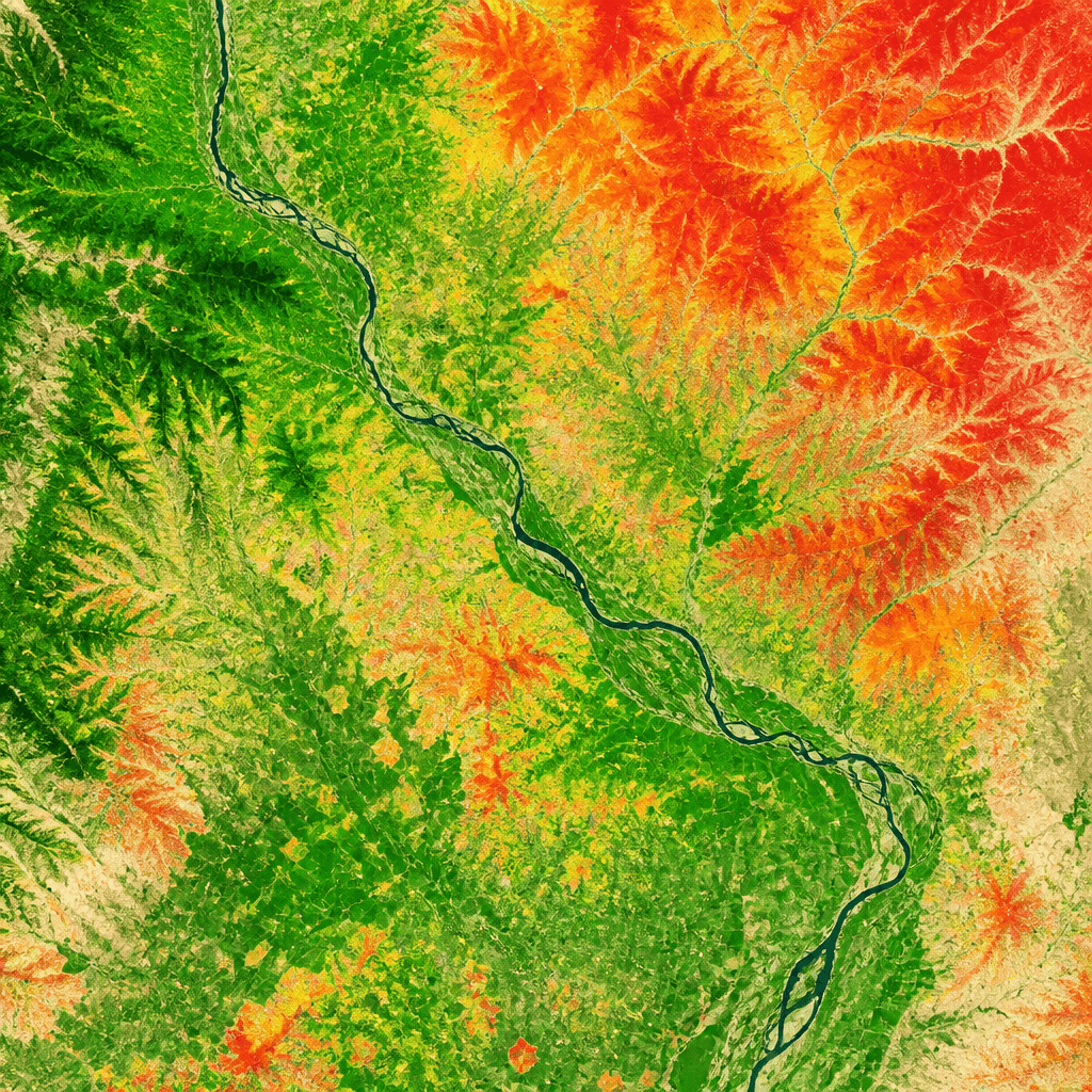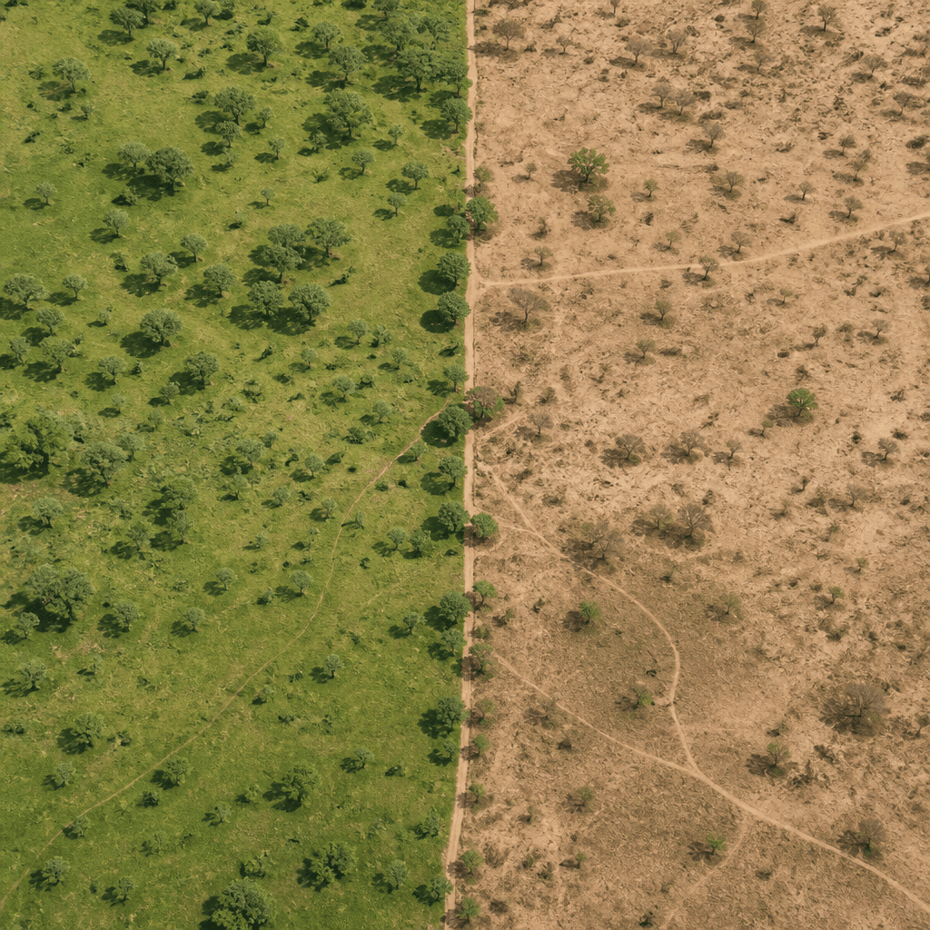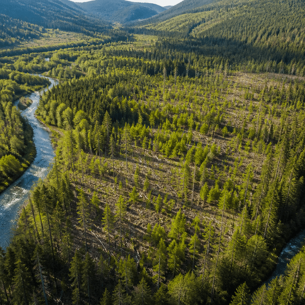
Comparing the before and after of a territory
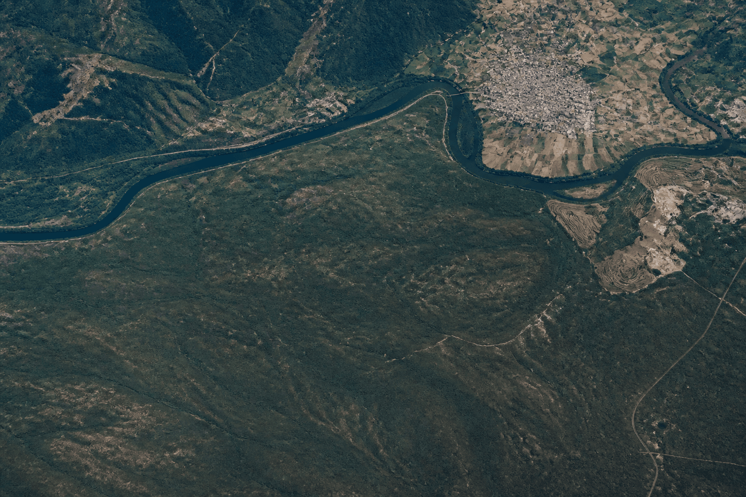
Satellite images tell a story that the naked eye cannot see: how
The tool works in two ways. In the temporal comparison, you choose a single indicator, such as the health of the vegetation, and track it over two to six different years. In the spectral comparison, on the other hand, you fix a year and juxtapose different indicators to view the same place from multiple perspectives at the same time.
You don't need to be an expert in remote sensing: select an area on the map, choose what you want to see, and the tool prepares the comparison. The available images start from