THE REGENERATION BLOG

    THE REGENERATION BLOG

    Welcome to our space dedicated to environmental regeneration.
    Here, we explore innovative environmental protection projects.

    What do you want to discover today?

    Search for the word

    World Habitat Day 2026: even nature needs a home
    The originsThe 2026 themeXN AtlasFireSight

    World Habitat Day 2026: even nature needs a home


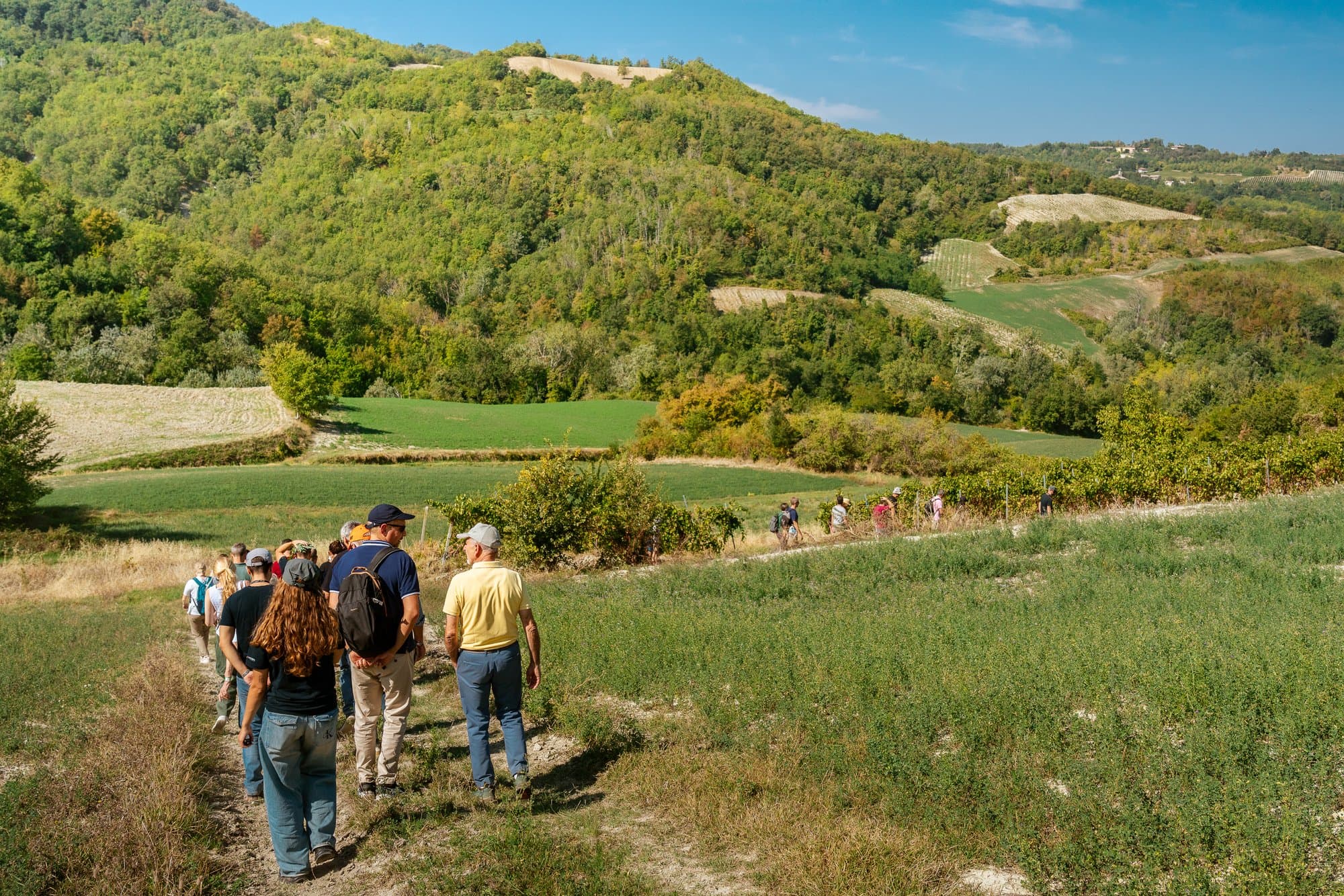
    On 5 October 2026, World Habitat Day celebrates the right to adequate housing for all. But in 2025, almost 4 out of 10 burnt areas in Europe were within protected parks: nature needs healthy homes too. With XN Atlas and FireSight, monitoring them is within everyone’s reach.


    85 Views
    World Habitat Day 2026: nature needs a home too
    The originsThe 2026 themeXN AtlasFireSight

    World Habitat Day 2026: nature needs a home too


    On 5 October 2026, World Habitat Day celebrates the right to an adequate home for all. Yet in 2025, nearly 4 in 10 burnt areas in Europe were inside protected parks: nature needs healthy homes too. With XN Atlas and FireSight, monitoring them is within everyone's reach.

    54 Views
    Fire risk in Como: the public map updated every 12 hours
    The caseLiveThe mapTo 2030

    Fire risk in Como: the public map updated every 12 hours


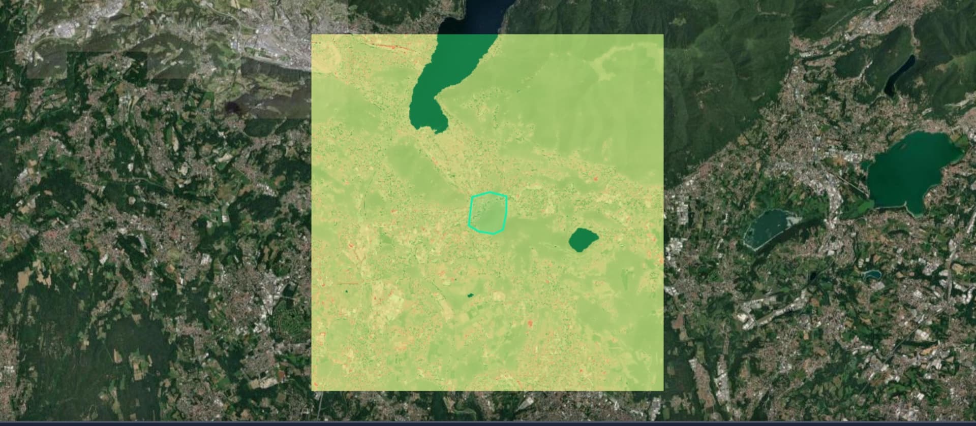
    Following a thermal survey on the outskirts of Como, we analysed 132 hectares between the city and Brianza: the fire risk map is now public, and this article updates every 12 hours with the actual weather conditions in the area.
    183 Views
    XN Maps: what it is and what it is used for, the satellite mapping tool by iLoveNatura
    What is itWhat is it forWho is it for

    XN Maps: what it is and what it is used for, the satellite mapping tool by iLoveNatura


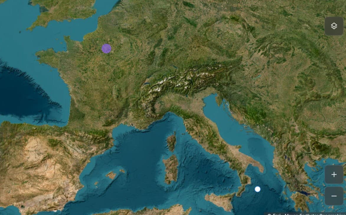
    XN Maps is the iLoveNatura tool that transforms satellite data into clear maps and environmental analysis. It allows you to study an area, see how it changes over time and understand how the climate is changing, all from your browser. Discover what it is, what it is used for and who it is useful for.


    82 Views
    XNatura
    Iris: the tool that connects the sky with the earth
    What is itHow it worksWhat is it for?Who is it for

    Iris: the tool that connects the sky with the earth


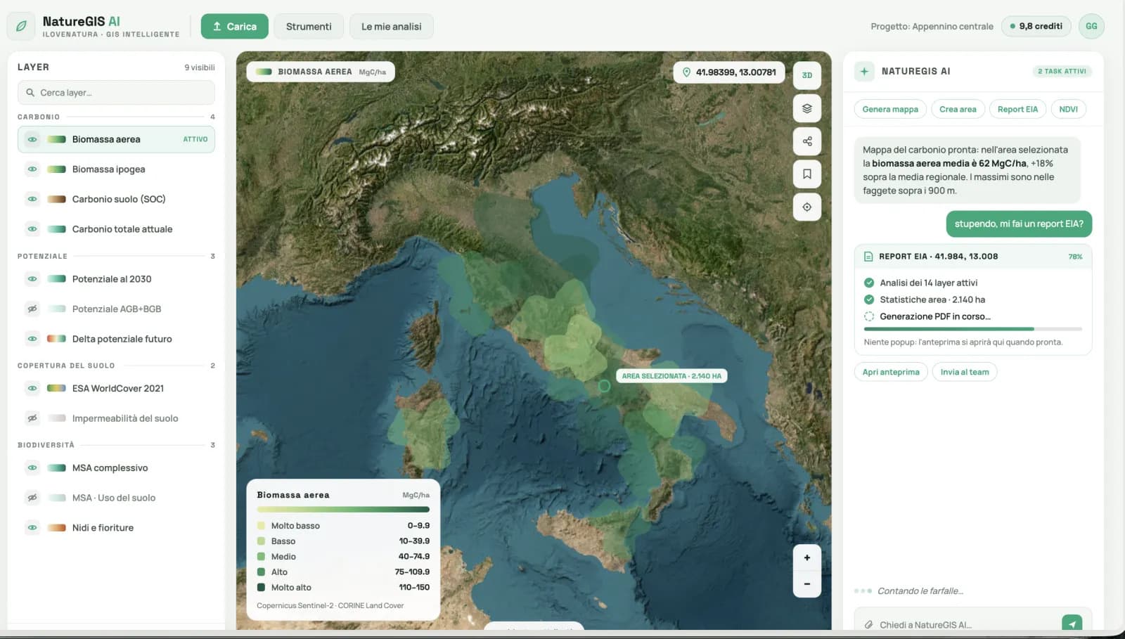
    Iris connects the sky to the earth: describe an area and a question, and the assistant generates environmental maps from satellite data, analyses them with real numbers, and delivers a ready-to-use report, all in the browser. It is iLoveNatura's conversational GIS, for reading the land without technical software.


    82 Views
    Write to us
    contact-us
    Do you need support?

    Our team is ready to assist you and answer all your questions.

    Join us

    Do you want to make a difference and actively contribute to protecting the environment?

    Agency

    Discover corporate sustainability projects

    Private

    Discover corporate sustainability projects