Why we switched on the satellites over this area
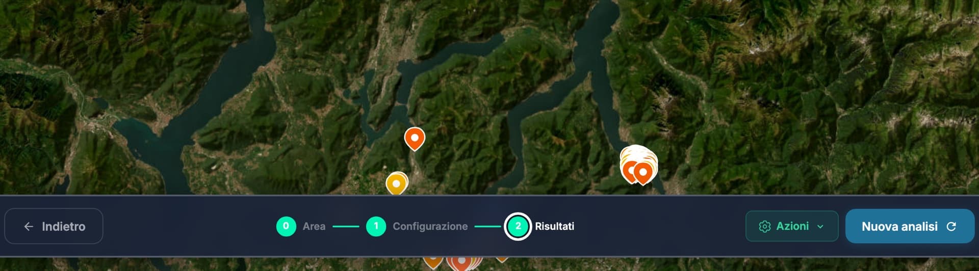
Between 14 and 15 August 2026 the satellites feeding the ilovenatura.com Fire Risk tool recorded a series of thermal detections right next to a green area on the outskirts of Como, between the city and the Brianza lakes: the closest about a hundred metres from the area we monitor, the latest one today. Satellite detections capture anomalous heat, not its consequences: but they are a concrete signal that northern Italy too, which we imagine damp and sheltered, lives with this risk.
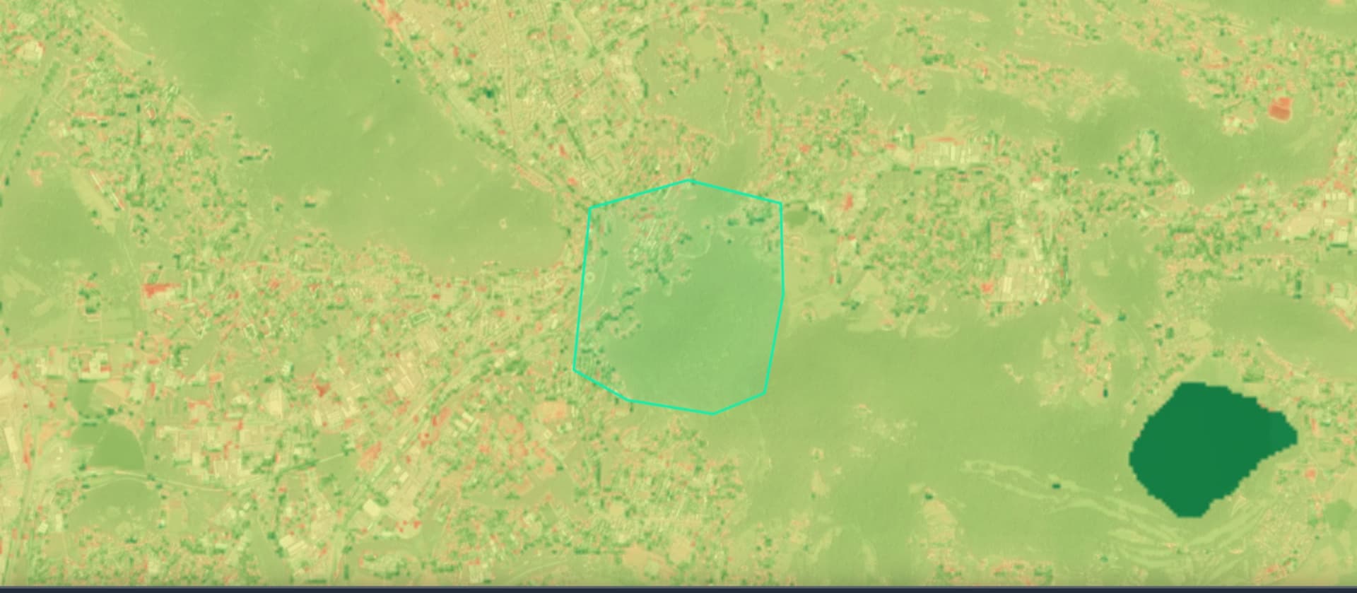
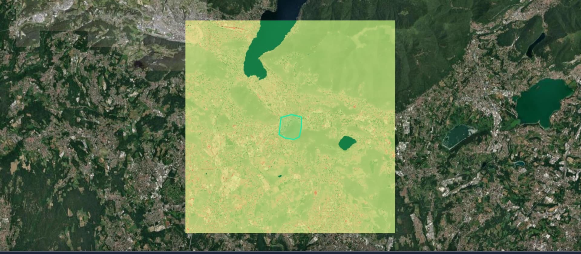
So we did what the tool lets anyone do: we drew a 132-hectare polygon around the area and ran the full analysis. The result is a public fire risk map, open to everyone with no sign-up. And this article has one special feature: the next page refreshes on its own every 12 hours with the real conditions of the area.