Fire risk in Como: the public map updated every 12 hours
    The caseLiveThe mapTo 2030

    Fire risk in Como: the public map updated every 12 hours

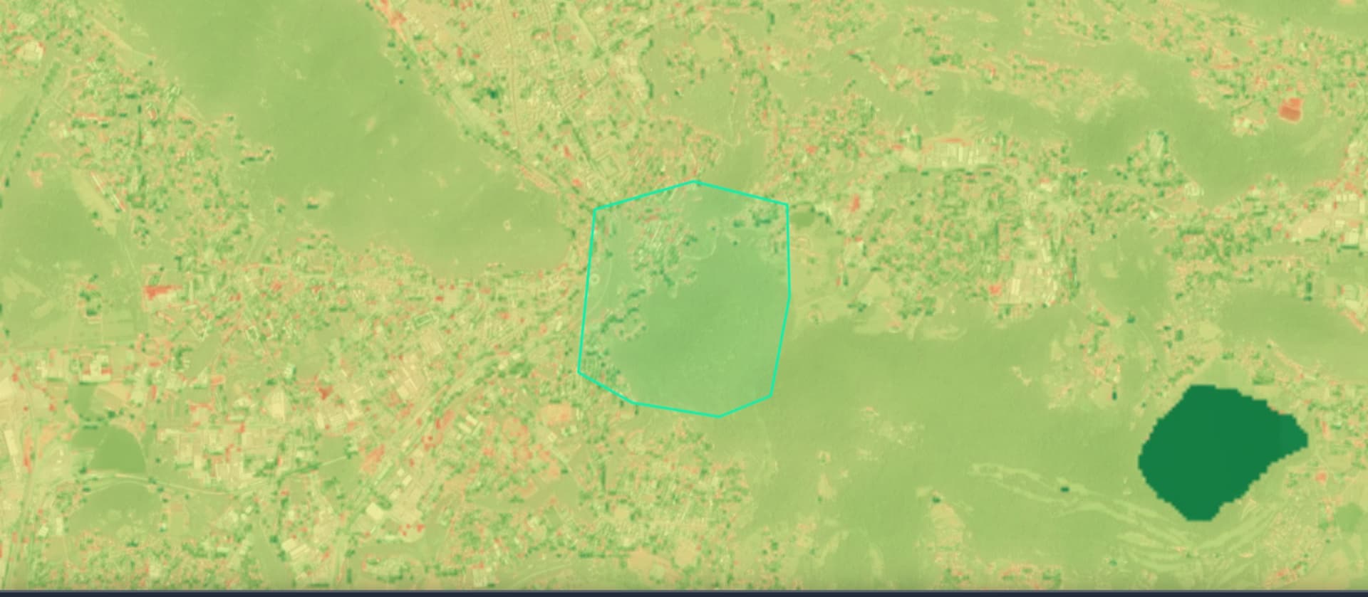
    Following a thermal survey on the outskirts of Como, we analysed 132 hectares between the city and Brianza: the fire risk map is now public, and this article updates every 12 hours with the actual weather conditions in the area.

    Read the article
    14/08/2026Of 3Bee, Niccolò Calandri, 3Bee
    177 Views
    14/08/2026Of 3Bee, Niccolò Calandri, 3Bee
    177 Views

    Why we switched on the satellites over this area

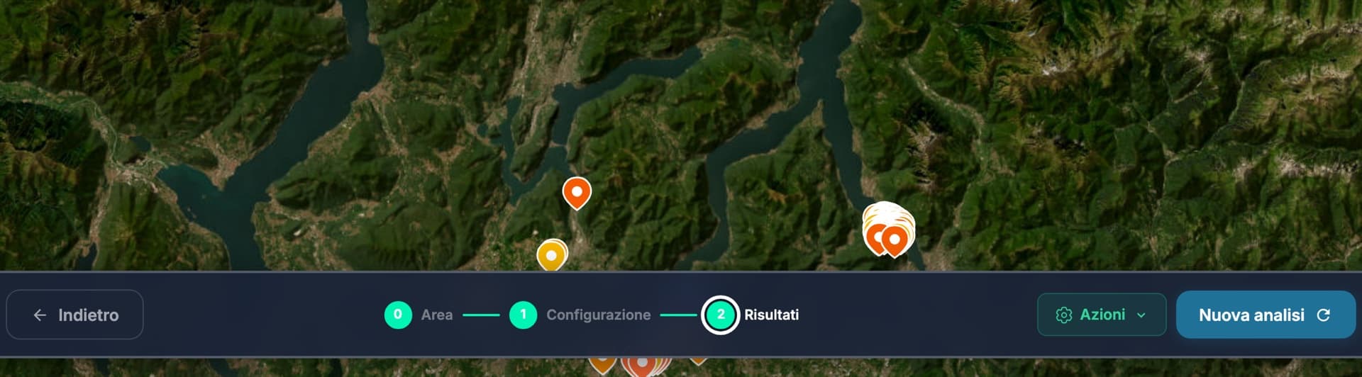
    Between 14 and 15 August 2026 the satellites feeding the ilovenatura.com Fire Risk tool recorded a series of thermal detections right next to a green area on the outskirts of Como, between the city and the Brianza lakes: the closest about a hundred metres from the area we monitor, the latest one today. Satellite detections capture anomalous heat, not its consequences: but they are a concrete signal that northern Italy too, which we imagine damp and sheltered, lives with this risk.

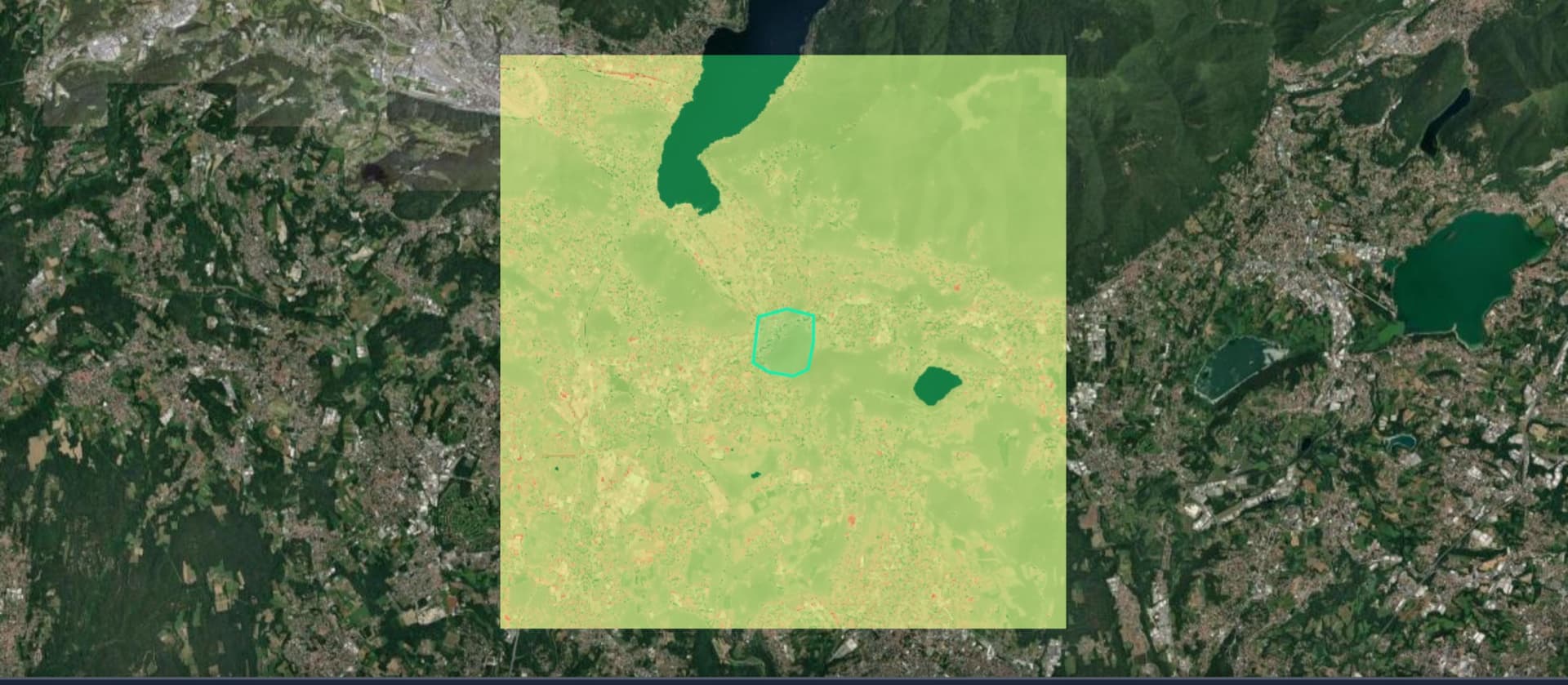
    So we did what the tool lets anyone do: we drew a 132-hectare polygon around the area and ran the full analysis. The result is a public fire risk map, open to everyone with no sign-up. And this article has one special feature: the next page refreshes on its own every 12 hours with the real conditions of the area.

    Why we switched on the satellites over this area

    Weather conditions and risk, updated every 12 hours

    This page refreshes on its own every 12 hours with the weather data that feeds the fire risk of the area near Como we are monitoring. Current conditions: temperature of 14 degrees (today's peak 16), wind from the north-east at 4 km/h with gusts of 12 km/h, relative humidity at 92 percent, 4.5 millimetres of rain in 24 hours, 1 consecutive days without rain. Satellites report no active thermal detections in the last 24 hours within about fifteen kilometres of the area.

    How to read them: wind is the engine of a potential fire front. Below 30 percent humidity vegetation becomes dry fuel. And every rainless day leaves the land more vulnerable to ignition.

    No automatic system replaces official channels: if you see smoke or flames call 112 immediately.

    Data updated on 20 October 2026, 19:00. Source: 3Bee monitoring on Open-Meteo data.

    XNatura

    Four factors, a score from 0 to 1

    The map we have published does not capture the fire: it captures the land's propensity to burn. Each pixel combines four weighted factors: the type of vegetation and land cover, the vigour of the summer vegetation measured by the NDVI index, the aridity of the area, and the land surface temperature detected by satellite.

    The result is a score from 0 to 1 for each point in the area. Across the 132 hectares analysed on the outskirts of Como, the current picture is moderate: around 18 hectares, or 13.6 per cent, fall into the medium class and 2 hectares into the high class, while the combined score for the area, which also integrates the probabilistic estimate of a machine learning model, is 0.30, a medium class. Not a high-risk territory today, but not an area to be ignored either: the average slope of 11.5 degrees and the 11 hectares of tree cover lost in recent years speak of a forest already under pressure.

    Four factors, a score from 0 to 1

    The changing climate shifts the risk

    The same map can be projected into the future. The CMIP6 climate scenarios, the same ones used by the IPCC, make it possible to estimate how fire danger days will change up to 2100, according to four emissions pathways ranging from the most optimistic scenario (SSP1) to the most extreme (SSP5).

    For the Como area by 2030, the direction is clear: hotter and drier summers increase the number of days on which the meteorological fire danger index, the Fire Weather Index, exceeds alert thresholds. This is why we chose to monitor this area over time instead of taking a single snapshot: wildfire risk is not a fixed property of a place, it is a variable that moves with the climate. On the public map, you can change the scenario and year and see for yourself how the picture shifts.

    XNatura

    Schools, hospitals and woods within a 10 km radius

    Why monitor right here? Because within a 10-kilometre radius of this area, there are 116 schools, 7 hospitals, 9 fire stations and almost 200 towns and villages. A fire in such a densely populated area is never just an environmental issue.

    Prevention begins with knowledge: the map we have made public can be accessed by anyone, free of charge, and anyone can create their own for an area they care about using the Fire Risk tool on ilovenatura.com. The usual reminder applies: these tools are for observing, understanding and preventing, not for managing emergencies. In the event of an active fire, the only points of reference are official channels, the single emergency number 112 and civil protection.

    3Bee

    The latest news from the area

    This section automatically gathers, every two hours, the news published by local and national outlets (in Italian) about the fire in the Como area. Headlines link to the original sources: for official updates always rely on the civil protection and fire brigade channels.

    Maltempo: su Lecco scatta l'allerta per rischio idrogeologico (LeccoToday, 20 October, 16:30)
    Rebuilding - Come l'acqua per il fuoco - Astra 21 - eventi (La Provincia di Como, 20 October, 00:02)
    Mentre il mondo brucia (infovaticana, 19 October, 19:39)
    “Distruggere Como”: le due chat scoperte dalla Digos e lo spettro della guerriglia sul Lario, come a Milano. La data di sabato 24 ottobre e gli obiettivi: cosa sappiamo (Il Giorno, 19 October, 15:51)
    L’ultima attività rimasta alla famiglia, poi le fiamme: l’incendio di Monza e il sospetto di una vendetta mafiosa (MBNews, 19 October, 14:27)
    Monza incendio in un’autodemolizione due arresti e spunta l’ipotesi del metodo mafioso (Zazoom Social News, 19 October, 14:17)

    14/08/2026Of 3Bee, Niccolò Calandri, 3Bee
    177 Views
    Newsletter
    newsletter
    Subscribe to the Blog about bees and biodiversity