Who it is for and how to get started
Iris is designed for anyone who needs to understand or report on the state of an area: environmental professionals and consultancies, renewable energy developers, local authorities and town planners, agricultural businesses, bodies managing forests and parks, and companies committed to sustainability and certification.
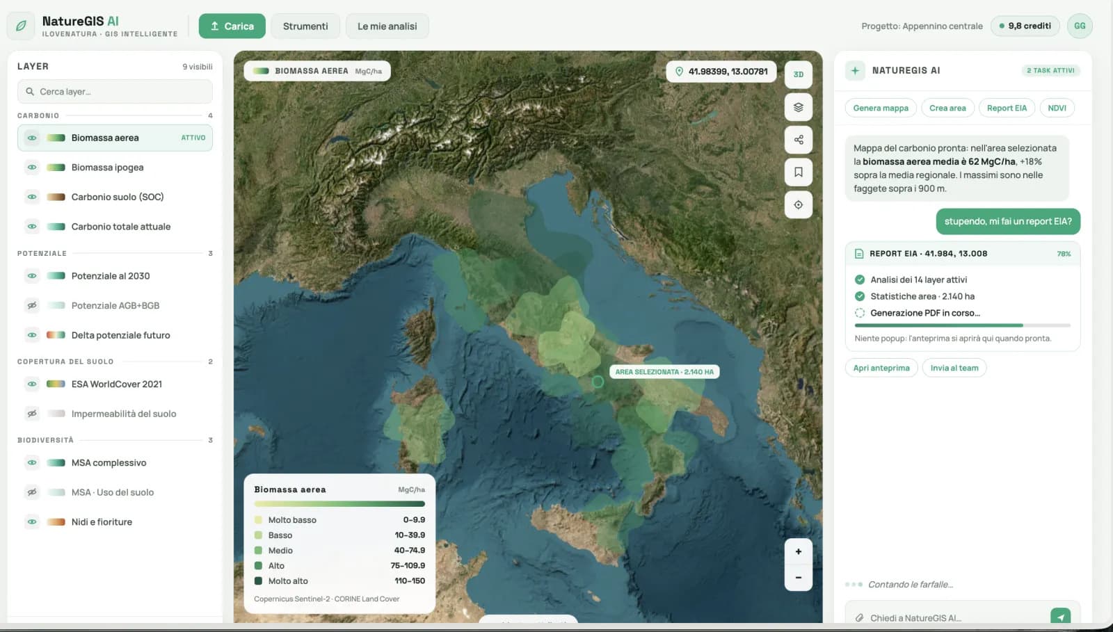
The best part is that you don't need to be a GIS expert: if you can ask a question, you can use Iris. The catalogue provides over 200 environmental layers, including maps, indicators and risks, each of which can also be viewed over time.
You can try it for free in demo mode, without installing anything, directly from your browser. Iris is included in 3Bee's iLoveNatura · xNatura platform.