An interactive satellite map, directly in the browser
The
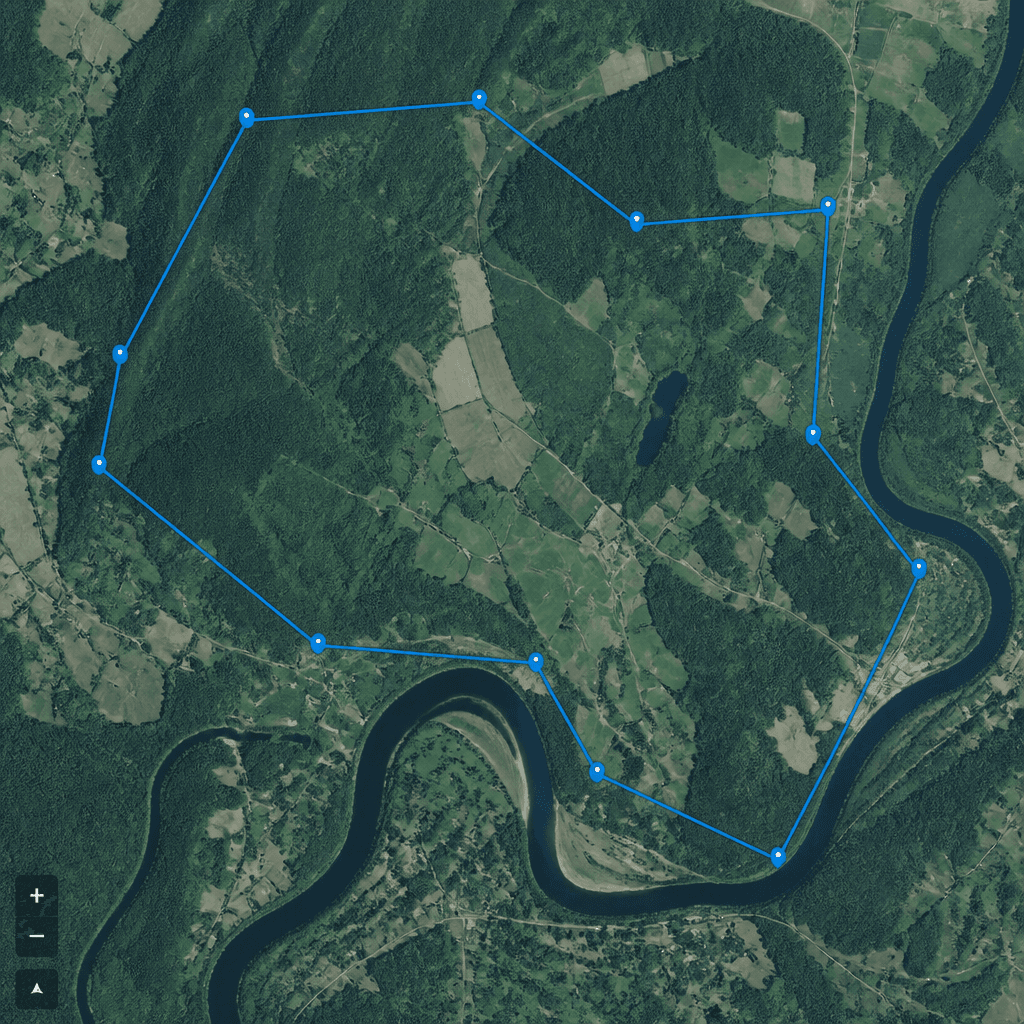
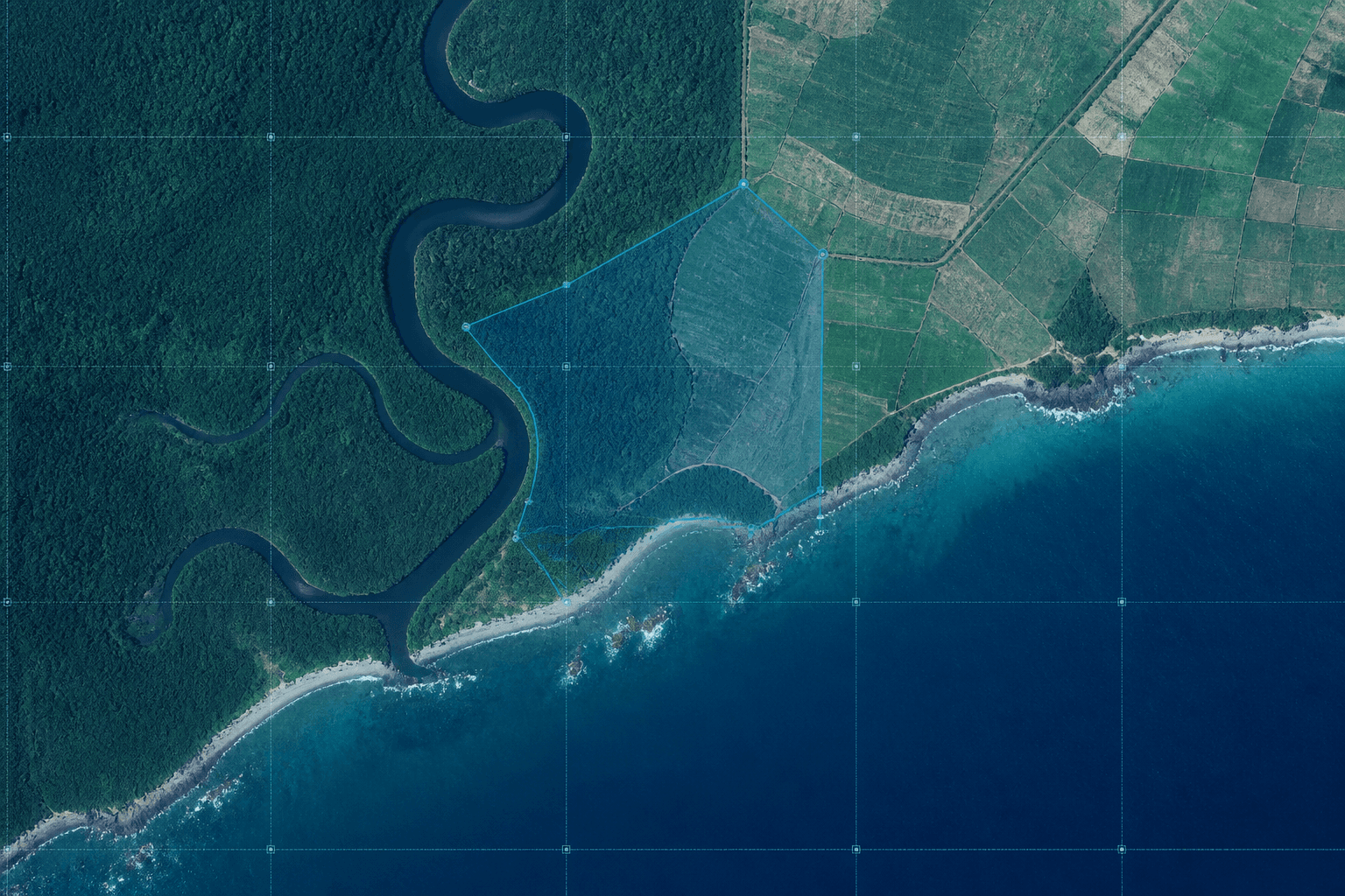
The core of the tool consists of five commands designed to interpret the terrain: Analyse Area to identify the characteristics of a region, Measure Distance to calculate the distance between points, Calculate Surface to obtain the area and perimeter of a drawn shape, Point Info for geographical details of any location, and Export Data to save your work in standard formats.
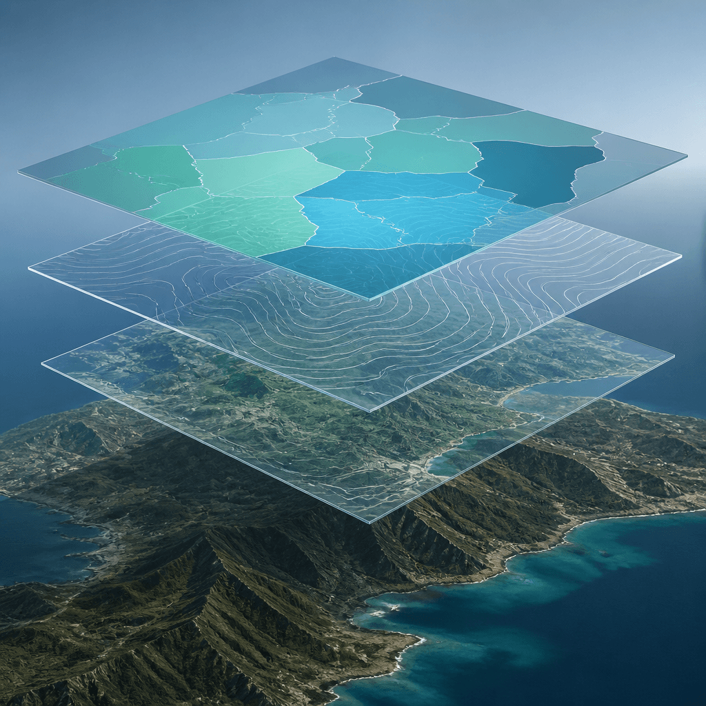
In addition, there are drawing tools such as markers, circles, polygons, lines, and rectangles, complete layer management, an attribute table, and version history. Everything remains within easy reach, in a single interface: allowing you to move from observation to analysis without changing tools.